I woke up to a downpour of rain on the tent today. It was just the sound I was hoping to hear. It's not that I didn't want to go out on traverse today, but it's nice to have an office day every once in a while. Plus, traversing in the rain yesterday and not finding any proper outcrop was a bit of a bummer. Speaking of which... When my trav partner plotted our traverse on the map, it turns out that little bit of possible-outcrop-from-underneath-the-tree was actually off the map we're doing. Not by much, but enough that we did truly get skunked yesterday.
So the office day today has been mostly busy. I spent the morning cleaning the shotgun and handgun (shotgun for fly camp, and my boss carries the handgun in the bush instead of bear spray). The shotgun doesn't have a waterproof case, so it's looking a bit rusty, so I had to put some elbow grease into it. I know it sounds weird, but I really enjoyed that. It's kinda fun to take them apart and oil them up while listening to music. It's soothing. After lunch, I was slabbing some rocks when the rock saw ran out of gas. After refilling the fuel tank, the saw wouldn't spin anymore even though the engine was going. I busted out the manual, took some covers off and found the problem: the fly belt was shredded to pieces. It's going to take a while to get a new belt up here, so that sucks. The North is pretty isolated. The closest decent sized city (Smithers) is an 8-hour drive away, and the closest proper city (Prince George) is even further than that. We had to order new tires for the truck (as we kept getting flat tires) and it's been 2 weeks, and we still don't have them. Imagine if that was our only vehicle, we'd be SOL. This belt has to be ordered from Vancouver, so it probably won't even be up here by the time we're done. Basically things are shipped up here through a freight company that leaves Smithers every Monday morning, and it arrives up here on Wednesday morning. The truck is packed Sunday night, so if something isn't in Smithers by Sunday, we're not getting it for a week. Even groceries are ordered like this, so living up here requires one to plan ahead by about a week. There is a store in Dease Lake, but it doesn't really have a lot of food, just kind of the basic things you'd need, like a bigger corner store. It's about the size of a 7-Eleven. So that's also why our shower probably won't get fixed by the time we leave. It's kind of like an entirely different way of life up here. Life's slower up here, and you just have to adjust to it.
My boots have finally dried out since fly camp. While this is lovely for my feet, it really accentuates how trashed my boots are. They look like they've got a few hundred kilometers on them, which I bet they do at this point. We hike about 5-10km every day, so that's about....150km at the least. Not bad for a month, not bad at all. We've got about another month up here still, but only about 10 traverses or so. We're running out of chopper time, and also out of map area that's accesssable. That's really the main problem: Accessibility. You'd think that with a chopper we could just set down anywhere, and hike around and find rock, but unfortunately the rock here is pretty elusive. There's a fair amount of swamp and other low lying areas where there is no exposure, and plenty of bush cover everywhere else. We had a couple good traverses in the alpine above the treeline, but there really wasn't too much of that. Just enough to realize how crappy the bush is, and how lovely it is to hike in the alpine, even with the rain and snow and wind.
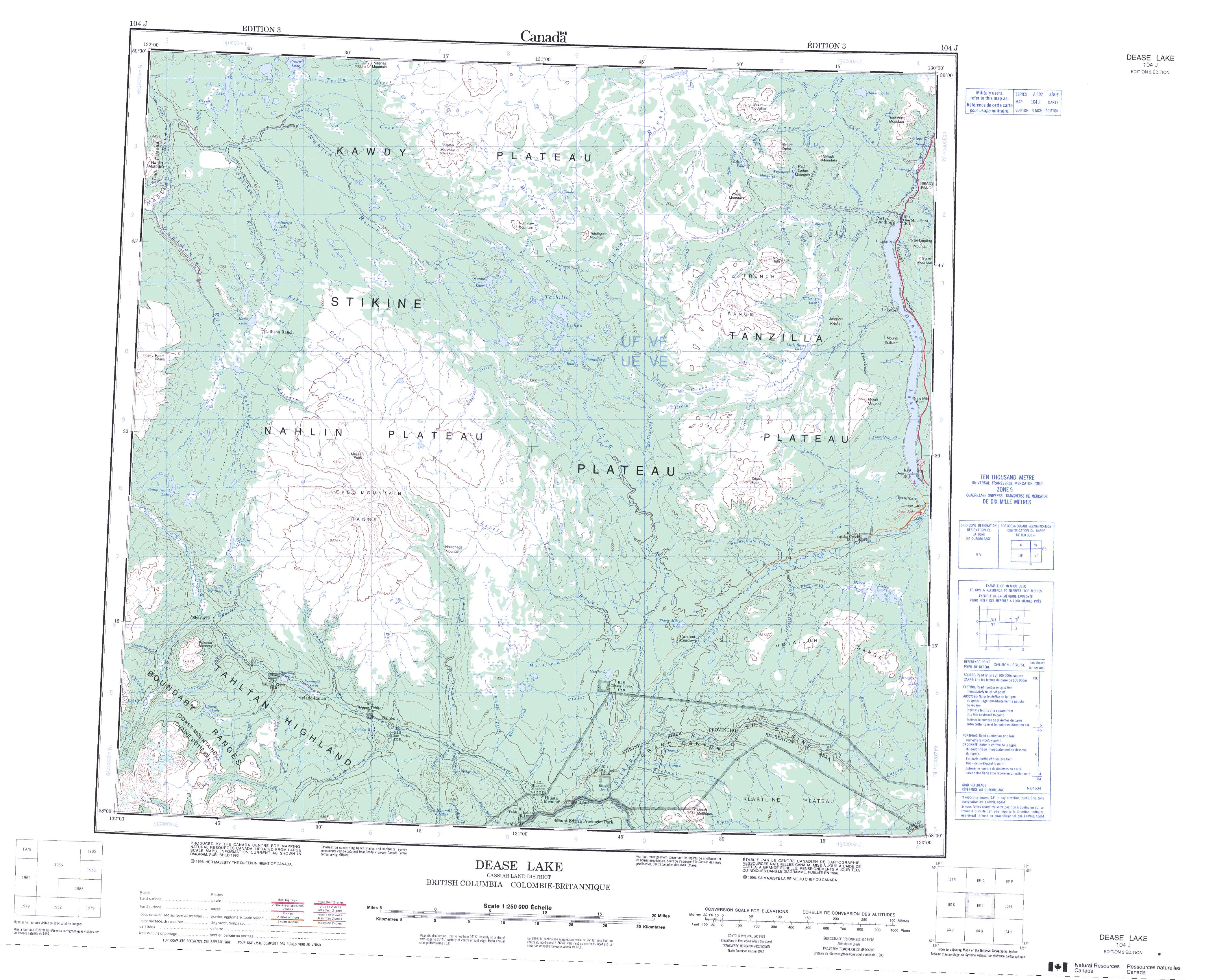
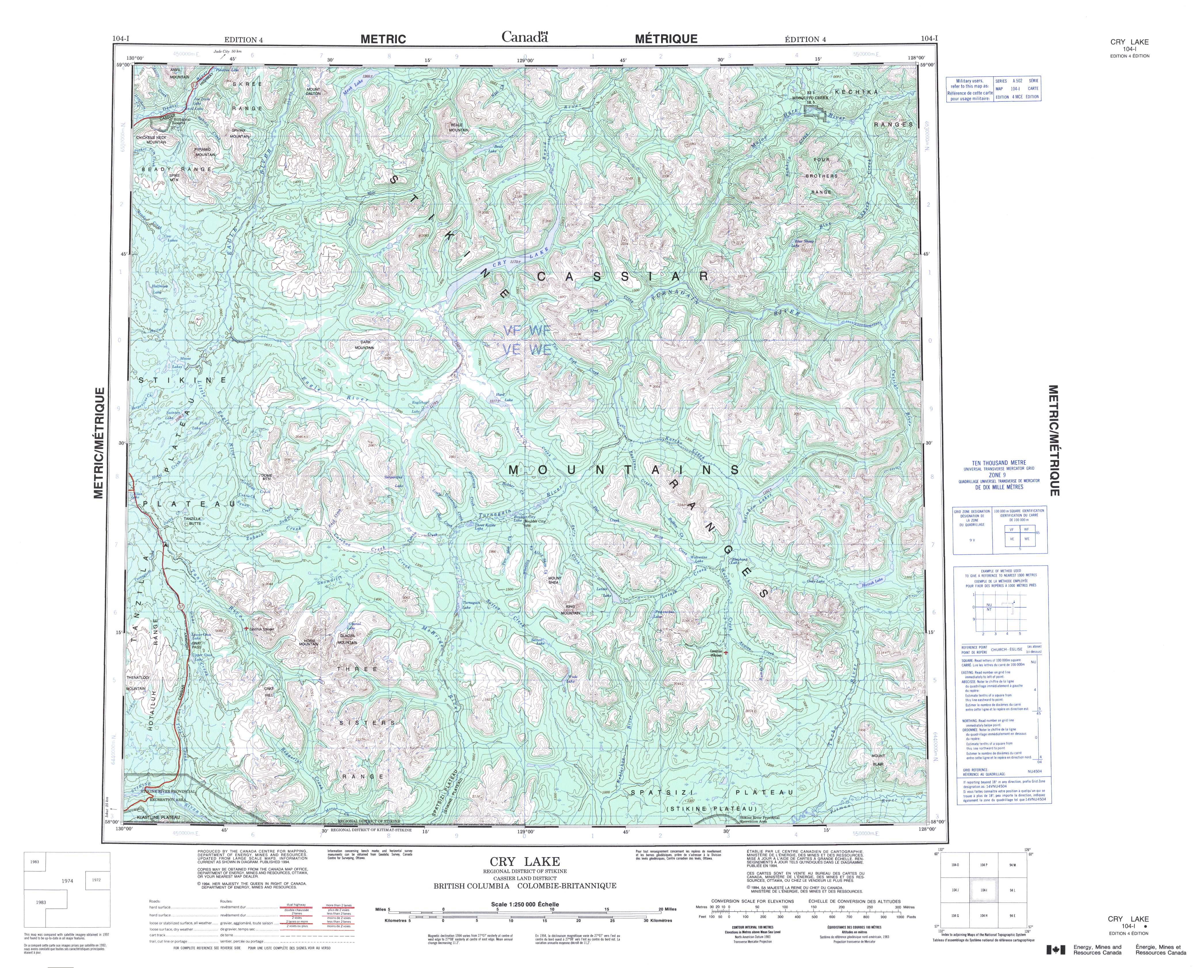
I know Ron was wondering about possibility of geology overlays for GoogleMaps and GoogleEarth, but unfortunately there aren't any dedicated geological ones (The BCGS has some here but they look pretty basic (Disclaimer: I can't run GoogleEarth and double check this, so reviews are 100% welcome)). The current geological map (NTS Maps 104J and 104I) or the topographical map we're using (104J and 104I) can be found at those places. Both geological maps are in black-and-white, and difficult to read (as they're coded instead of coloured). I spent a while today looking for a coloured map to no avail (which is a bummer, because we have copies here on the wall). I hope we will be using our data from this summer to create a KML file for GoogleEarth, because that would be awesome.
Edit: The maps won't load on my laptop here (slow connection and all) but this page from Geoscience BC appears to have geology maps of BC.
No comments:
Post a Comment